Calculating Biomass for Fruit Crop Prediction
- #AgriTech
- #AI
- #Computer vision
- #Data analytics
- #Geoanalytics
- #Greenhouse
About the Client
A company in Central America that provides scientific activities in AgriTech to revolutionize the way of monitoring and controlling crop fields and plantations.
Business Challenge
Accurate crop yield prediction ahead of harvest time is vital for agricultural companies. It lets businesses measure and forecast selling and storage capacities and be efficient with crop production.
Our client needed a solution to estimate how many fruits they have within a particular area and calculate their total weight. That information helps the company manage its resources and budgets more efficiently, allowing them to save costs and implement this knowledge into running other fields.
Solution Overview
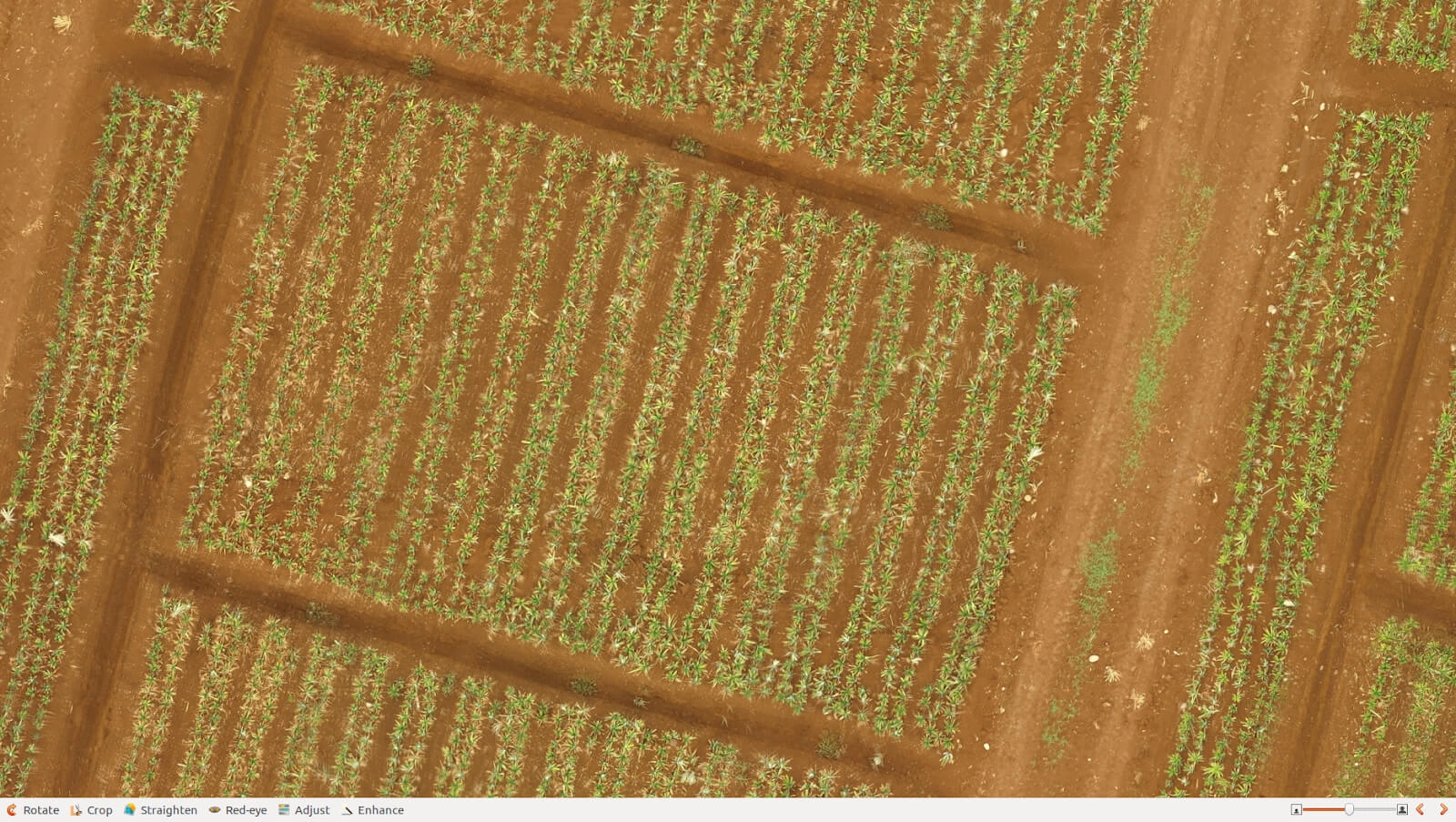
The client reached us to develop a desktop application for using drone images as input with a further representation of results in a GUI (Graphic User Interface) to map a specific area.
With the application developed by Quantum, the client can calculate biomass and the number of fruits on the field (or any specified area selected) using data from drone imagery. It also analyzes the available data using computer vision and artificial intelligence to predict fruit ripeness for more efficient biomass management.
Project Description
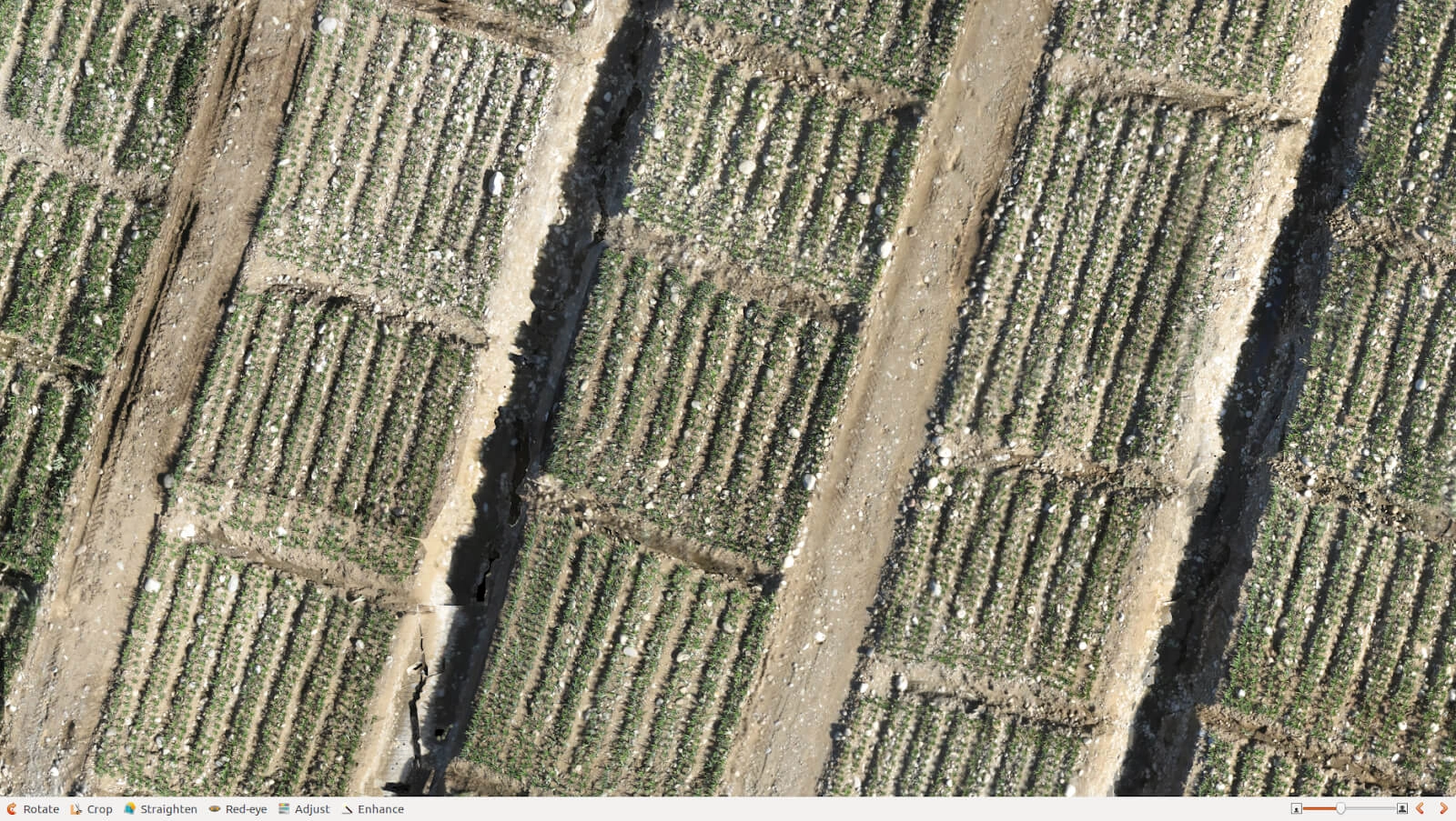
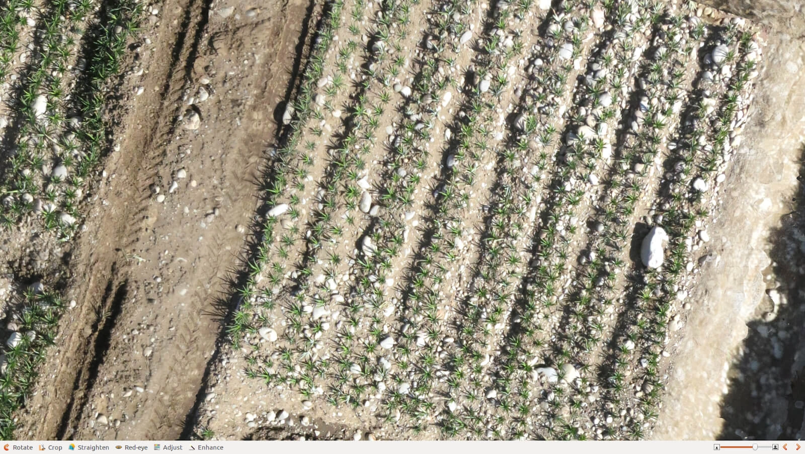
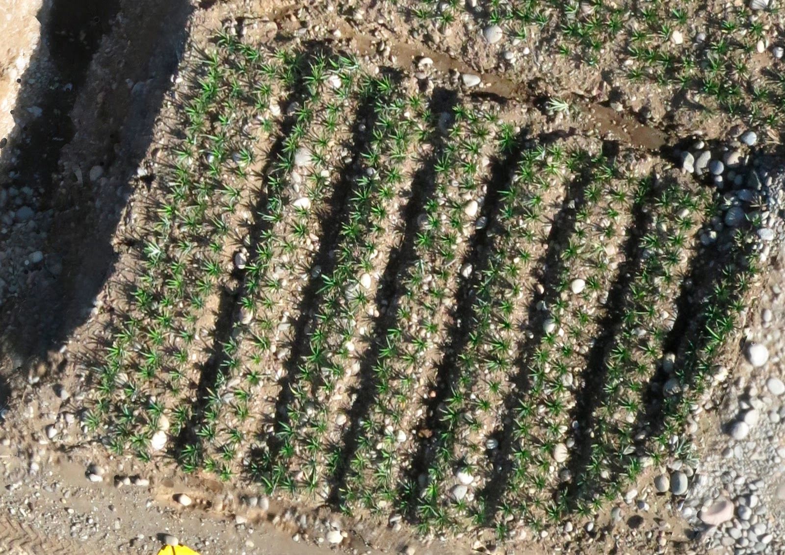
Before the analysis, we had to collect and pre-process the data from our client’s agricultural drones. First, The data was collected and cleansed, enabling us to develop an automatic fruit recognition system.
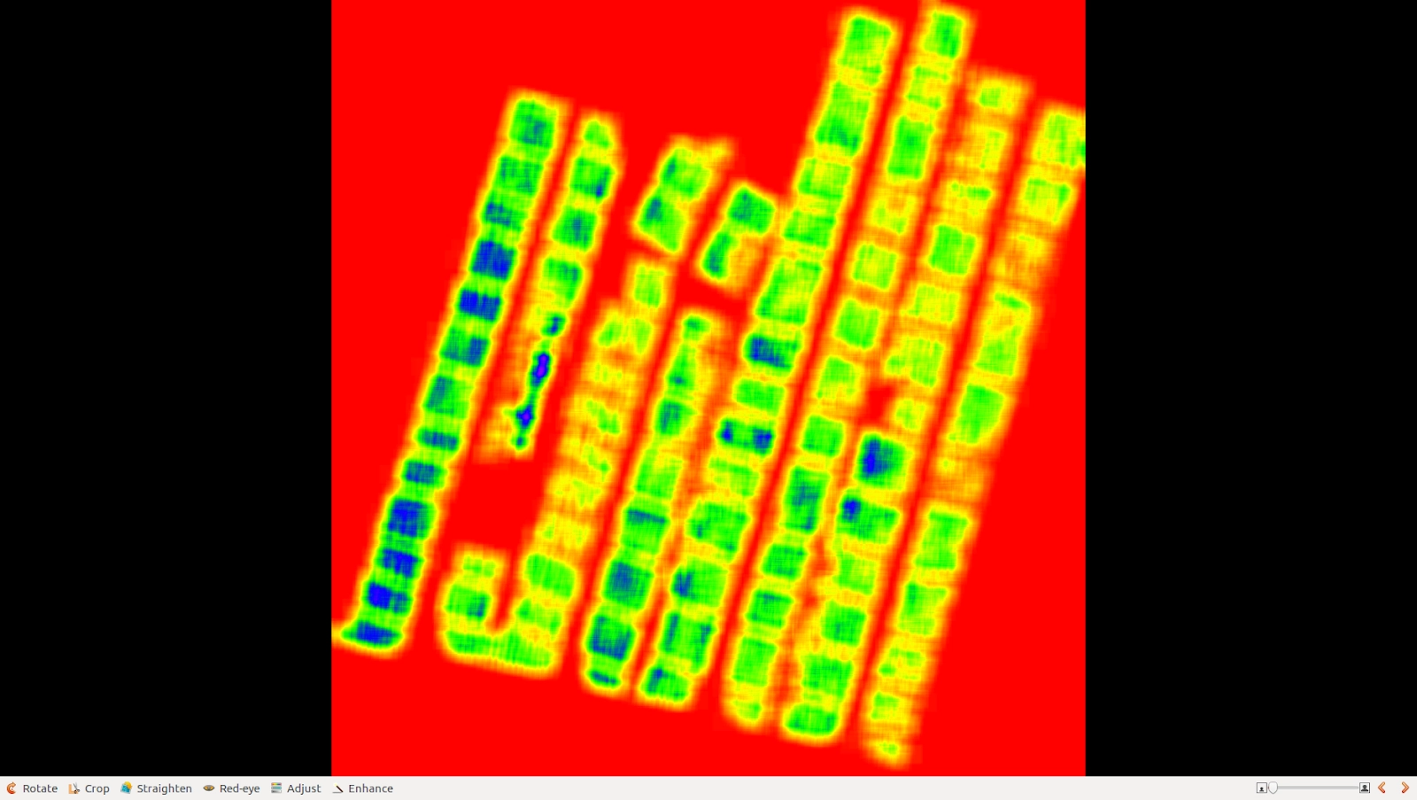
We used DEM (digital elevation model) data to develop an ML model capable of identifying plant height and LAS (LASer) data to extract data points and merge them into objects.
Calculating plant height was challenging because drone imagery usually overlaps many artifacts, such as shadows or low images.
That made it difficult to distinguish a small plant from its larger neighbor because of its shadow. To overcome this issue, we had to increase the number of flights made under different daylight conditions.
Summary: We have successfully classified biomass into usable (fruit and hay) and futile (to be disposed of) and predict the amount of biomass on the field growing under the same conditions, thus helping the client to plan and manage biomass meticulously.
Let's discuss your idea!


Technological Details
We used the Open Source Geospatial Foundation (OSGEO) tools to calculate the plans’ height, process imagery, and extract data from it. For research, visualizations, and verifications, we used QGIS and pix4d as a part of a processing pipeline.
The following technology stack we also utilized in the project: GDAL, NumPy, shapely, geopandas, and laspy.


